— 6 —
lacks this outlying plain; there, however, several plains extend deep into the interior, of which the Plain of Jezreel and the Plain of Zebulun are the best known and, by reason of their fertility, the most famous. The often
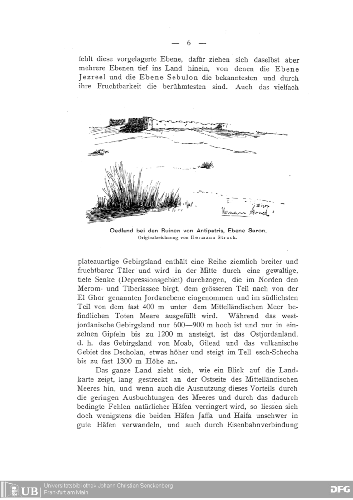
Waste land by the ruins of Antipatris, Plain of Sharon. Original drawing by Hermann Struck
plateau-like mountain country, too, contains a series of fairly broad and fertile valleys, and is traversed down its middle by a mighty, deep trough (depression zone) which in the north holds the Lakes of Merom and Tiberias, is occupied for the greater part by the Jordan plain called El Ghor, and in its southernmost part is filled by the Dead Sea, lying almost 400 m below the Mediterranean. While the cis-Jordanian mountain country is only 600–900 m high and rises to 1200 m only in isolated peaks, the trans-Jordanian region — that is, the mountain country of Moab and Gilead, and the volcanic district of the Jaulan — is somewhat higher, rising in the Tell esch-Schecha to a height of almost 1300 m.
The whole country, as a glance at the map shows, stretches in a long band along the eastern side of the Mediterranean; and even if the exploitation of this advantage is diminished by the slight indentation of the coast and the consequent want of natural harbours, the two ports of Jaffa and Haifa could at least be transformed without difficulty into good harbours, and likewise, by a railway connection